Tag: Tunnels

Elroy-Sparta and La Crosse River State Trails

This past weekend, I joined 4 others on an informal trip to Wisconsin’s Elroy- Sparta Trail and La Crosse River State Trail.  The Elroy-Sparta has the distinction of being America’s first rails to trails project, established in 1965, making this year its 50th anniversary!

The trail itself is about 32 miles long, and connects with several other trails, including the La Crosse, in an interrupted chain of about 100 miles.  We didn’t have time to plan for or do a full out and back of the entire chain of trails, so our itinerary for the weekend, just finalized a couple weeks prior, was as follows:

  • Day 1: Arrive at Elroy Commons, park our cars, and bike 32 miles to Sparta.  For lodging, we planned on “bike-packing,” that is, carrying all of our camping gear in panniers and staying at the Department of Natural Resources (DNR) campground in Sparta;
  • Day 2: Depart from Sparta on bike, ride part of the La Crosse River State Trail for an out and back trip,  returning to the Sparta DNR campground for the evening (round trip total ~ 30 miles); and
  • Day 3: Depart from Sparta and bike back to Elroy Commons to our cars – 32 miles.

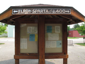
In addition to myself, those on the trip included Lauren, Ellen, Autumn, and Yesica (with Yesica taking all of the great pics posted here!).  On July 3, we met early in the morning, packed up the cars, and made the drive to Elroy, Wisconsin.  Upon reaching Elroy, we easily found the Elroy Commons, which is the start/finish of both the Elroy-Sparta Trail and the 400 State Trail. There, we were able to buy trail passes for the entire weekend, which are required for riding the trail:

Elroy Commons

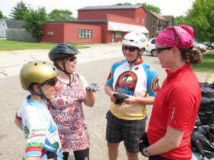
After eating breakfast (for lunch) at a diner in Elroy, we were eager to get on the trail and begin the day’s ride!  Here we are, being led in a pre-ride voice recording by Ellen:

Recording

Before we knew it, we were on the trail.  For me, it felt great to just be outside, riding.  I work at a desk job all day, and it doesn’t always suit my personality and desired activity level.  Also, I noticed right away that the trail was in great condition.  The surface is sort of a packed, crushed stone and it had few bumps and holes (quite unlike the C&O Towpath experience!). Surprisingly, the trail wasn’t all that crowded, and I wondered if that was unusual for a holiday weekend.

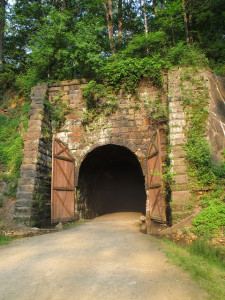
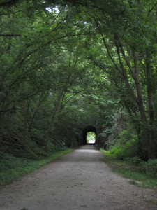
Soon enough, we came across the first tunnel of three:

Tunnel 1

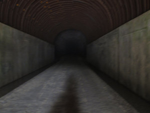
We found it quite cool and entertaining.  Obviously, upon entering a tunnel, it is necessary to make various hoot and hollering noises. Also, according to a sign, we were required to get off our bikes and walk them through the tunnel, due to the wet, bumpy surface and lack of light.  If one didn’t have a light, it would be difficult to pass. Look at how scary it would be:

Spooky Tunnel

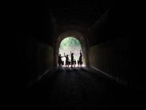
Not to worry though, we made it through in no time:

Waves

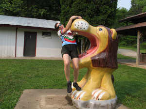
We continued riding and stopped for a short break at a rest area off the trail.  There, we ran into more trouble:

Lions

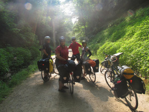
Bike trips can be quite dangerous.  We encountered two more tunnels along the way, including the final one, which was over 3000 feet long and in which we couldn’t see the end when we entered it.  Inside the tunnels, it was at least 20 degrees cooler than outside, and the walls and ceiling were dripping with water.

Fortunately, we made it to the Sparta DNR campground while the sun was still out.  I’d like to say that we then peacefully set up our tents and enjoyed a long, enjoyable night around the campfire. However, upon entering the DNR site, we were immediately swarmed by mosquitoes, despite practically emptying bottles of bug spray over ourselves.  So, we quickly ate dinner and retired to our tents, where it was (mostly) safe.  We all had many mosquito bites, including several of us with bites on our faces and eyelids (awkward).

The next morning, we ate a quick breakfast at camp and then decided to depart for the day, not to return until bedtime (due to the mosquitoes).  The plan for the day was to ride a bit on the La Cross River State Trail, which runs about 22 miles from Sparta to La Crosse, WI, and then return to Sparta in time for the town’s 4th of July celebration.

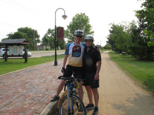
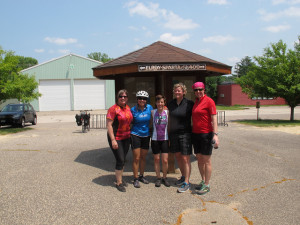
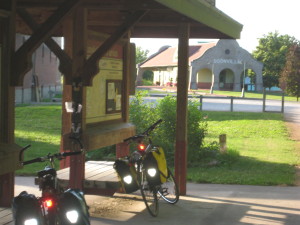
So, after leaving our campground in Sparta and getting back on the trail, we quickly encountered the Sparta Depot:

L and A

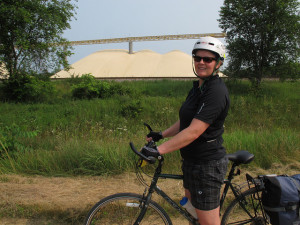
We rode for about 10 miles on the La Crosse River Trail, which was also a quite nice trail.  It traverses through farm land and small towns, and it seemed to not have as much tree cover as the Sparta Elroy Trail.  We also rode past these giant mounds of sand. It actually wasn’t clear what these big mounds were, or what exactly went on at this sand factory, but “sand factory” seemed like the best guess:

sand

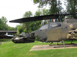
At Bangor, WI, we arrived at a park just off the trail, where people were setting up 4th of July festivities. These festivities included grilling large amounts of meat on massive grills, fishing in a local stream, playing  bingo, and shooting guns at a shooting range at the park. The park also had a veterans’ memorial, complete with a helicopter and tank, which we had to check out:

Bangor Park

We stopped here for a couple of hours and ate lunch, rested, and played cards.  It was a bit hard to relax too much, due to the continual shooting (I think Ellen has a recording of what it sounded like there), but it was still a nice break.  After hanging out in Bangor, we decided to head back to Sparta for some important business meetings.

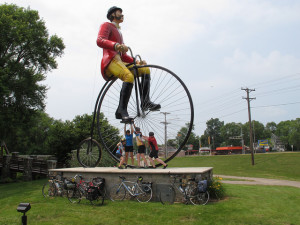
First up, we had to stop by Ben Bikin’s place and convince him to stay in Sparta:

BB

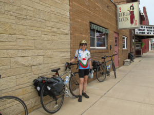
Then, we had to stop by the legendary Lynda Lou’s in Sparta, for some competitive shuffleboard, Spotted Cow beer drinking, and Jenga-playing:

LL

We also spent quite a bit of time at Memorial Park in Sparta, which was having a 4th of July celebration. Various tents were set up, including an especially popular one that sold apple pie, frozen custard, and root beer floats.  Nearby was a water park, where we were all grateful to be able to take showers (side note: it’s a good thing, too, because when Lauren washed her hair, a large beetle fell out).

The fireworks display started shortly before 10 pm, and we watched them for a bit, before riding our bikes back to the campsite:

fireworks


Upon reaching our campsites, we quickly hung our food and then hopped into our tents before the mosquitoes could get us too badly.  All of the other DNR spots seemed taken at this point, something I think we were all slightly worried about before the trip.  The DNR sites are first-come, first-served, and reservations are not accepted. So, planning a bike trip around staying at such sites can be somewhat risky, especially as based on my research prior to the trip, many commercial campsites had 3-night minimum stays over weekends and holidays. Luckily, it worked out for us, although I think we could have figured something out had the site been full.

The next morning, we broke camp in record time and, one by one, we gathered at the trail to begin the ride from Sparta back to Elroy.  I would have been happy to have a few more days riding, so it was hard not to be a little sad about it being the last day. However, we still had a full day ahead of us, so I tried not to dwell on that:

last day

We had a nice ride back to Sparta, making pretty good time.  The pattern of the trail is that it’s somewhat rolling (for a rail trail), with the 3 tunnels being at the peaks.  Periods of climbing are eventually followed by periods of downhills.

Overall it was a great trip:

TheEnd

Our total mileage was about 96!


KATY Trail

In July 2013, I was part of a small group that biked Katy Trail State Park (aka – the Katy Trail).

This trail runs 237 miles across the state of Missouri, along what was formerly the MKT trail line. Now, I didn’t have this website back in 2013, but I’m going to try to piece together the trip as best I remember from my notes and itinerary.

On this trip, I went with 3 other people. Like GAPCO, we did this trip entirely self-supported, carrying our own gear on panniers. Unlike GAPCO, where we camped and stayed in hotels half the nights, we stayed in hotels/B&Bs every night of this trip. That definitely made the trip more comfortable, as it’s nice to have a soft bed at the end of riding all day. However, after doing both, I prefer to add in camping, both because I really enjoy camping and because it makes the trip less expensive. What I’ve found is that bike adventure trips can be as inexpensive (or not) as you make them, and staying in hotels and eating at restaurants each night definitely adds up on a trip.

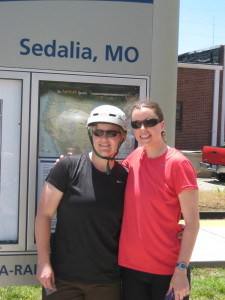
Logistically, the trip began with our group driving in a small SUV, with a bike rack carrying 4 bikes, to St. Louis, MO.  From St. Louis, we took an Amtrak to Sedalia, MO, near the Western terminus of the trail. Technically, the trail starts a bit further west in Clinton, MO, but the Amtrak doesn’t go to there.

KTStart

Day 1- Sedalia to Boonville (35 miles)

Once we arrived in Sedalia, we had a nice lunch at a diner, finalized preparations on our bikes, and then took off.  What I remember is that we kept our first day of biking pretty light, only going from Sedalia to Boonville – about 35 miles. Still, it was very hot and humid, and we were adjusting to carrying gear on our bikes!  We were all glad it was a “short” day.

At Boonville, we stayed at the Isle of Capri Casino, where we had made reservations prior to the trip.  I was quite glad of having a room and a bed. Plus, casinos tend to have great air conditioning. Playing roulette and having a few cocktails also helped us recover from the day of traveling and riding.

Boonville

Day 2- Boonville to Hartsburg (~40 miles)

From Boonville, our next destination was the Katyrest Caboose in Hartsburg.  I remember enjoying this section of the trail, as it followed pretty closely to the Missouri River and was rather shaded by tree canopies. This part of the country is really quite lovely:

KT3

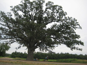
Excitingly, we went a tad off the trail to stop by and see the World’s Largest Oak Tree. It seemed true to its name:

OakTree


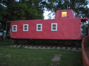
And then, most excitingly of all, we arrived at the Katyrest Caboose, where we got to relax and cool down from the day’s ride:

Caboose


Day 3 – Hartsburg to Marthasville (76 miles) – 

Dun dun dun! Day 3 was our longest of the trip, clocking in at 76 miles. Which, on a light road bike and without panniers, is not all that difficult. But, with packs, on crushed limestone, and hybrid/mountain bikes, is a little more difficult.  Not that I’d trade it for a vacation of lounging on a beach and doing nothing, of course!

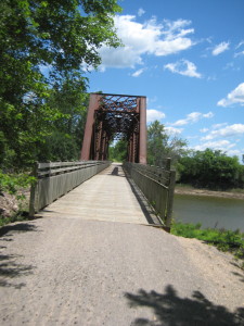
The Midwest has a reputation of being “flyover country,” but I continued to be impressed by the landscape on this ride.  We went over many bridges, through tunnels, along bluffs, and through stretches of forest that I’m sure many people never see.

KT4

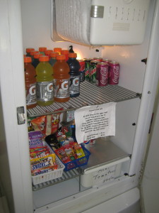
Also, like GAPCO, the Katy Trail has cool, quirky features to show hospitality to those who ride.  Along the way to Marthasville, there was a non-staffed rest stop with a stocked refrigerator operating on the honor system. I’m not sure who fills the ‘fridge with Gatorade, sodas, and snacks, but we were grateful for it (and we dropped money into the canister):

KT5


On this day, I also remember getting a mystery rash on my legs during the last couple hours. Exciting!  It turns out I get heat rash on my lower legs, probably due to combination of dust, sun, and sweat.  I also experienced this on the Trans Catalina Trail. (Was that too much information?).

Day 4 – Marthasville to St. Charles (~38 miles)

On our next to last day of riding, we rode from Marthasburg to just outside of St. Louis, in St .Charles. As we got closer to the city, the trail got more and more crowded with other bikers and families. While before, in more rural locations, we were able to ride 2×2, we were most relegated to riding single file.

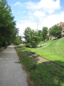
Just as we were arriving in St. Charles, where he had a hotel room reserved, it began to rain. Luckily, that was really the only time we got rained on during the trip. In St. Charles, the trail ran parallel to an abandoned (I think?) rail line.

KT5


Day 5 – St. Charles to St. Louis (~40 miles) –

The last day of a bike trip is always bittersweet for me. On the one hand, it’s always such an accomplishment to finish a trail, but that also means the vacation is over.  Nonetheless, we departed from St. Charles and headed for St. Louis, to the Amtrak station where the car had been parked.

Probably for all of us, this was the most harrowing riding of the trip. We had been accustomed to riding on trails segregated from cars, but once we got into St. Louis and headed toward the Amtrak station, the trail ended, putting us on roads without bike trails. If I were to do this ride again, I would pay more attention to the ride from St. Charles to St. Louis and try to find a less congested route.

In all, it was a great trip, and I really would consider riding the Katy Trail again, perhaps adding some camping nights into the experience!

Day 5: The C&O Towpath Experience

Welp, Day 5 was an adjustment, in terms of riding.  We woke up from our hotel in Cumberland, biked to Mile O of the C&O Towpath and, as anticipated, found that it was indeed quite bumpy.

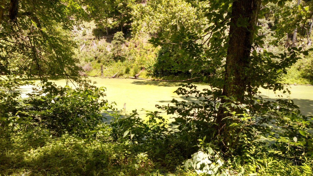
While the GAP is primarily crushed limestone, the Towpath is a 1-lane dirt road covered with tree roots, sticks, mud puddles, and horse manure.  Running parallel is the old canal, which fell out of use in the 1920s, and is now green and boggy.

wpid-wp-1404580784817.jpeg

Mentally it was a difficult riding day, as it was one of our longer ones at 60 miles. But, we also know that every adventure trip has its ups and downs, and knew we would soon rally.

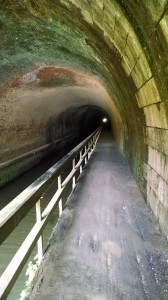
A cool point in the ride was seeing Paw Paw Tunnel, which we had to walk our bikes through for the entire 0.6 miles. It was much cooler in the tunnel than outside, and the ground inside was very uneven and bumpy. I remember looking to my right a couple of times at the wall and seeing large chunks of brick missing (a perfect spot to hide a treasure if you ask me).

wpid-wp-1404580939463.jpeg

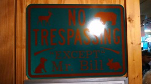
A high point was stopping at Bill’s Place for pizza and crab cakes.  Although, it did have a Confederate flag on the ceiling and some interesting signs:

I have no idea what this means.

I have no idea what this means.

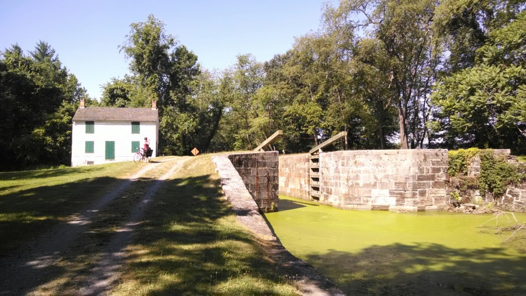
Along the Towpath, every couple miles is a lock, which is cool, as each one also has an old lock house:

wpid-wp-1404581131834.jpeg

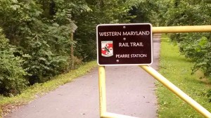
Now, remember our flat tire a few days ago?  Well, when Ellen and I were at the bike store getting some tubes, the owner gave us a tip to pick up the Western Maryland Rail Trail, which is paved and runs parallel to the Towpath for 22 miles. That started about 50 miles in:

Wonderful, heavenly pavement!

Wonderful, heavenly pavement!

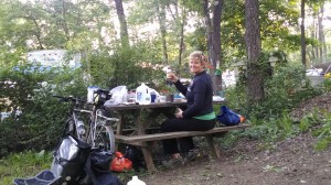
At the end of our ride, we made it to Happy Hills Campground.  This site was teeming with people and families celebrating the July 4th weekend.  Despite the crowds, we were happy to shower, set up our tents, and eat supper. Lauren cooked a delicious meal, complete with pie for dessert:

wpid-wp-1404582027245.jpeg

Everyone was very friendly at the aptly-named Happy Hills.  Some of the regulars there, those who seem to pay for spots on a seasonal basis, have quite impressive campers and set-ups.  The family next to us had a massive camper, complete with a big TV, a front porch, a shed, and a cool tripod grate (which they let us borrow to roast our pies over our campfire!)

A couple hours after we arrived at Happy Hills, a few guys probably in their mid-20s showed up after us who had also ridden from Cumberland. Although, lucky them, a man was supporting them via truck and had set up their tents for them, brought them a cooler, and inflated air mattresses for them.

Not going to lie, we were proud of ourselves for doing the ride completely self-supported, and for being at least a decade older than them.

We then made our campfire and, later, retired to our tents to the sounds of a live country music cover band, underage girls drunkenly talking, and random young men shouting “whooooo.”

Onward we go!

Today’s Mileage: 60

Tomorrow’s Itinerary: Hancock, MD to Harper’s Ferry, WV