
Last week, I had the fun experience of joining my friend Ellen on a bike-camping trip along the Grand Illinois Trail (GIT). In short, the GIT is a network of bike trails and roads that traverse the northern part of Illinois, in a loop of approximately 575 miles.
Ellen rode the whole thing (impressive!) and I joined her for the final 5 days of riding, from (roughly) the Quad Cities to Chicago. As with previous bike-camping trips, the plan was to pack all of our gear onto our bikes, using racks and panniers, and then primarily camp along the trails.
Here is the journal I kept of my GIT experience, with photos:
Day 1 (9/9/17) – Hennepin Canal Lock 26 to Hennepin Canal Lock 21 (+ some city riding): 51 miles
To begin this journey, I had a 5 am wake-up call in Chicago to ride about 12 miles to Union Station. My plan was to take the Amtrak to Kewanee, Illinois and then meet Ellen along the Hennepin Canal Parkway, the 105-mile trail that goes across Illinois from the western border at the Quad Cities to its mid-point near Bureau Junction, Illinois.
But first, my ride into Union Station was smooth sailing. It was a Saturday before the sun was up, so I rode on city roads with very little traffic. I took this picture just south of Lincoln Park:

I boarded the Amtrak shortly after arriving at Union Station and had a very nice 2.5 hour train ride to Kewanee. Suddenly, I was no longer in the big city. I had arrived at a nearly-empty train station. It’s okay though, I’m from a small town. Sometimes, it’s nice to get away!

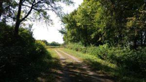
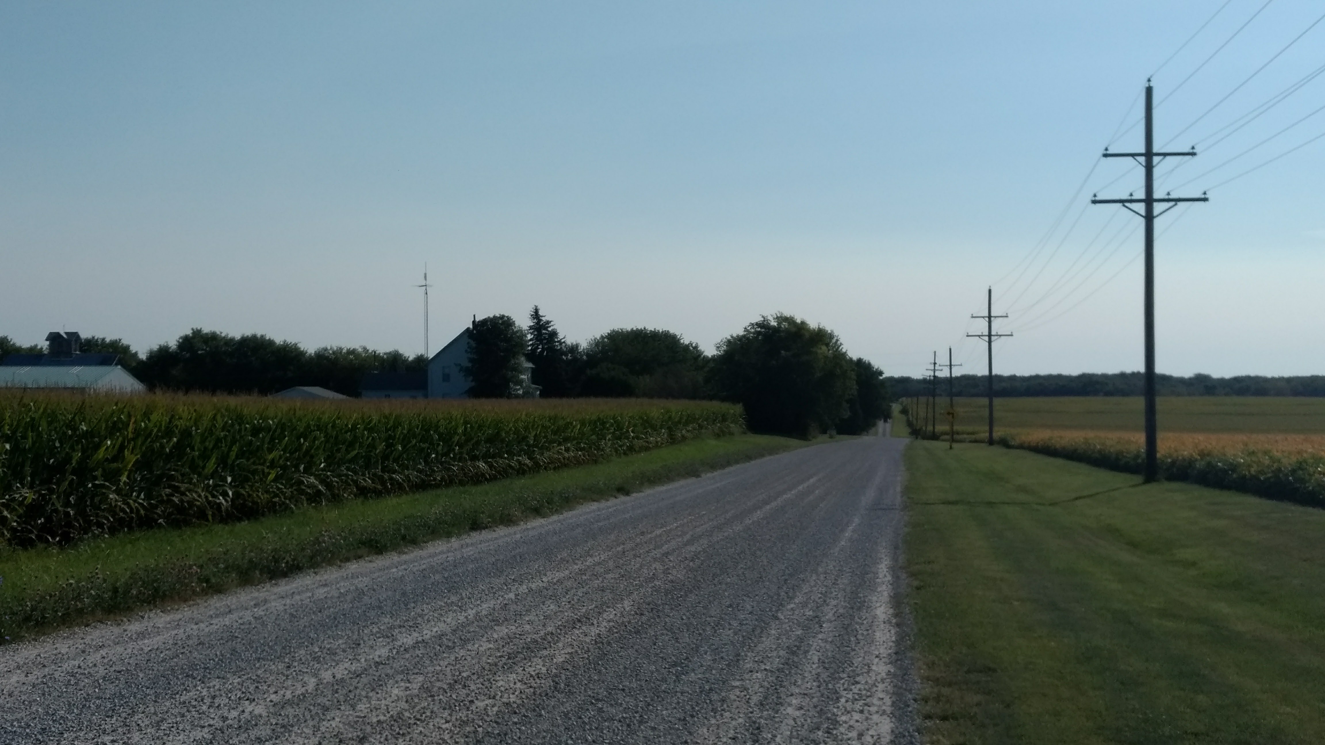
From Kewanee, my sister, who lives nearby, picked me (and my bike/gear) up and dropped me off at the Hennepin Canal, at Lock 26 near Geneseo, Illinois, where I had planned to meet Ellen. The Lock and trail were both pretty easy to find and at a first glance, the trail seemed to be in decent shape, with a mix of packed gravel and asphalt. Although, I should mention that we decided upon this meeting point because the parts of the trail to the west were not in usable condition, due to storms and state budget issues (apparently).

Ellen arrived at the meeting point shortly thereafter and, together, we rode our bikes about 39 more miles to Lock 21 on the Hennepin Canal. The Hennepin Canal trail is an old towpath along a canal that was completed in the early 1900s. Unfortunately, by the time it was finished, this mode of transporting goods was obsolete, and so it was never really used for its intended purpose. On the upside, it’s now getting use as a recreational trail.
At one point, the Hennepin trail splits and veers north in one direction and east in another. We accidentally rode on the north branch for about a half mile, but quickly realized our mistake and got back on track!
Then, as luck would have it, I got a flat tire just as we rolled into our campsite. I suppose there are worse times and places to get a flat! Anyway, it was getting dark by the time we arrived at the campsite, so we set up our tents in a hurry and camped right near Lock 21, in a nicely-maintained clearing. The tire would be dealt with in the morning.
Weatherwise, it was a very pleasant September day, sunny and in the 70s.
Day 2 (9/10/17) – Hennepin Canal Lock 21 to Starved Rock State Park: ~50 miles
I slept well in my tent, as I usually do on bike trips due to exhaustion, and woke up at around 7 am. I set about fixing my flat (the first one I’ve had on a bike trip!). Note to self: C02 cartridges make fixing flats much more efficient than my little hand pump. Anyway, my bike repaired and breakfast eaten, we packed up our gear and resumed the ride.
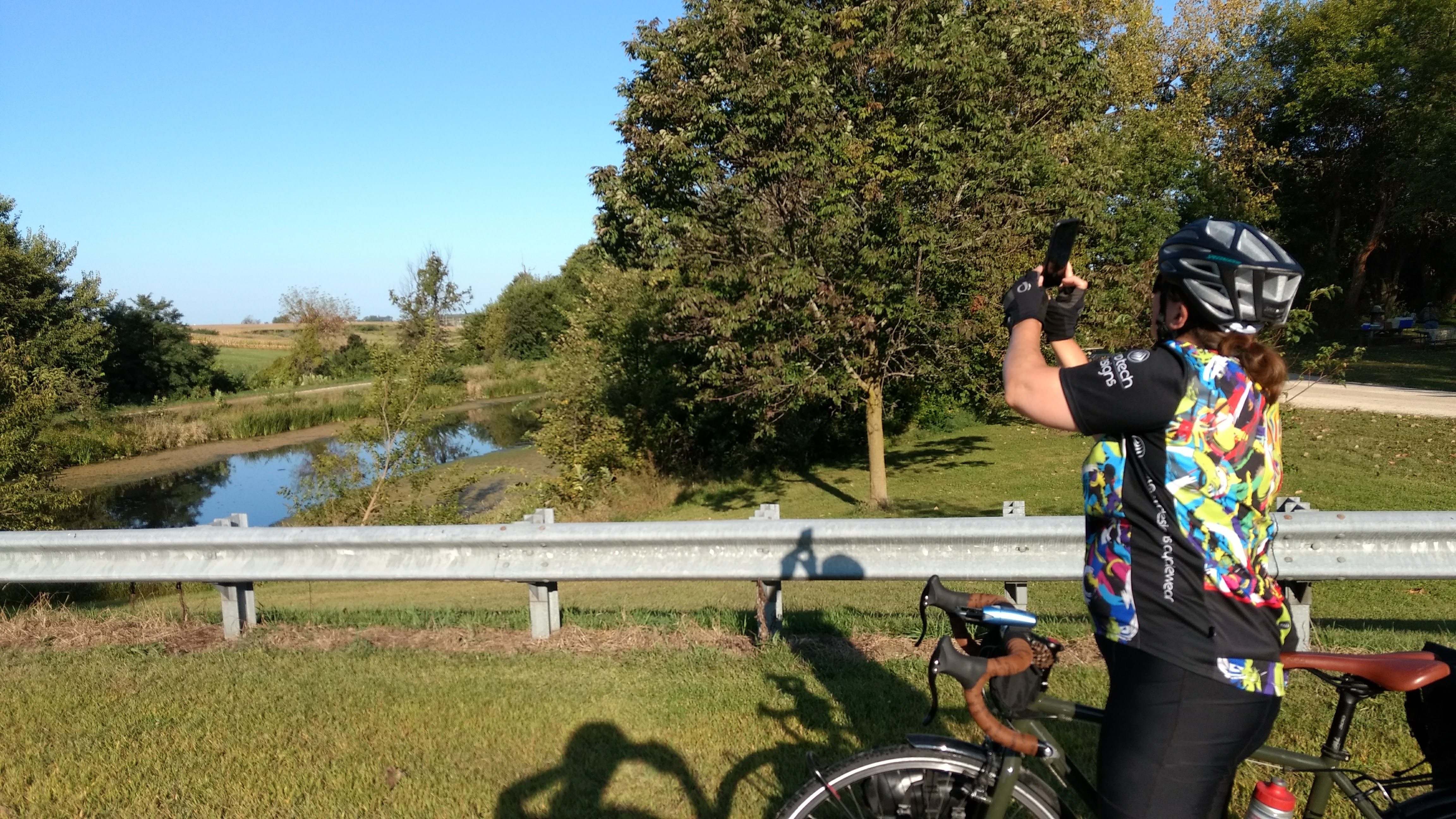
Spoiler alert: Ellen likes to take a lot of pictures along the way, which is nice because it forces me to stop speeding along, enjoy the scenery, and take pictures for this website and my memories:
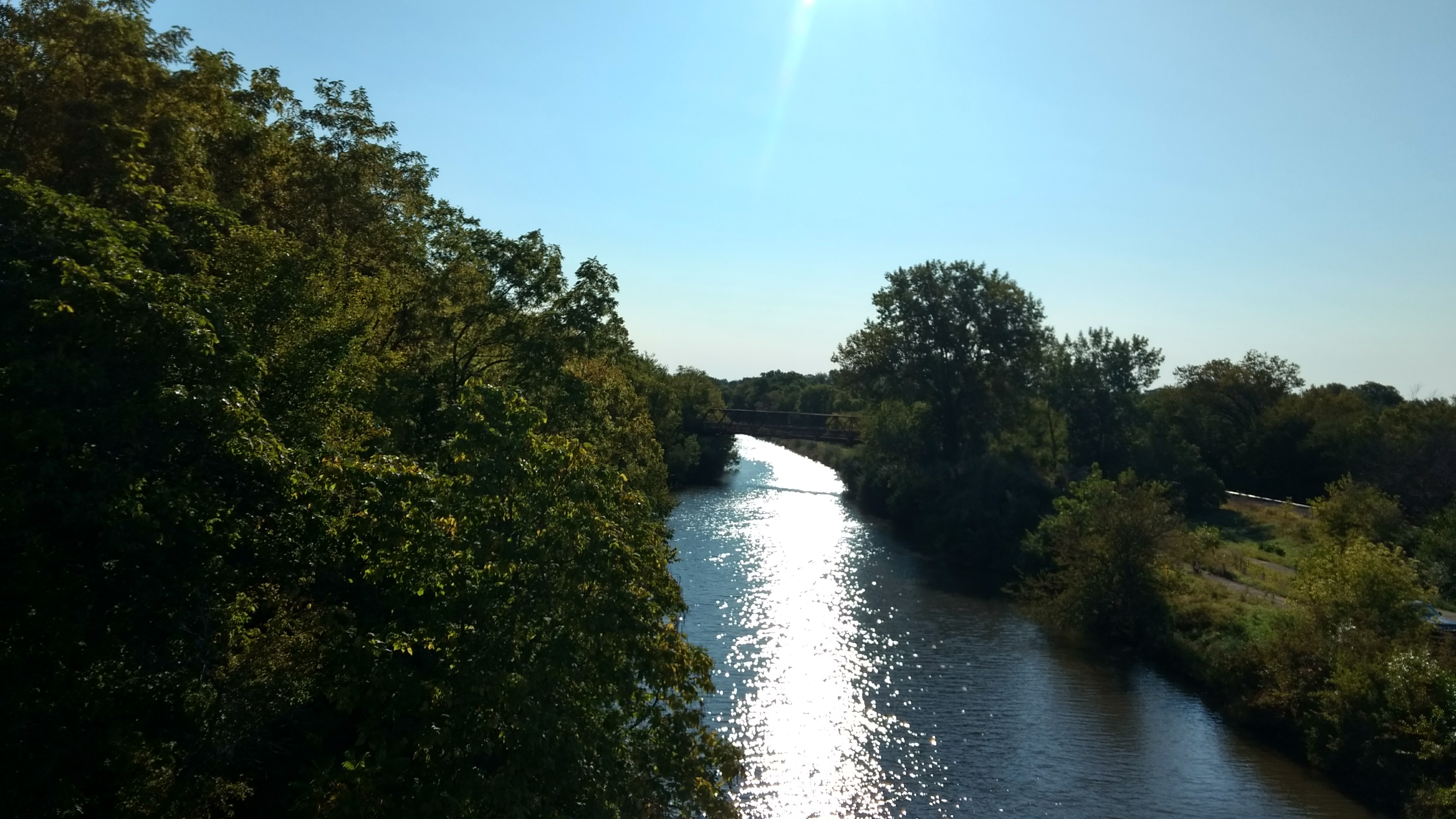
The first part of our day, it was smooth sailing on the Hennepin Canal trail for about 20 miles to the trailhead in Bureau Junction.
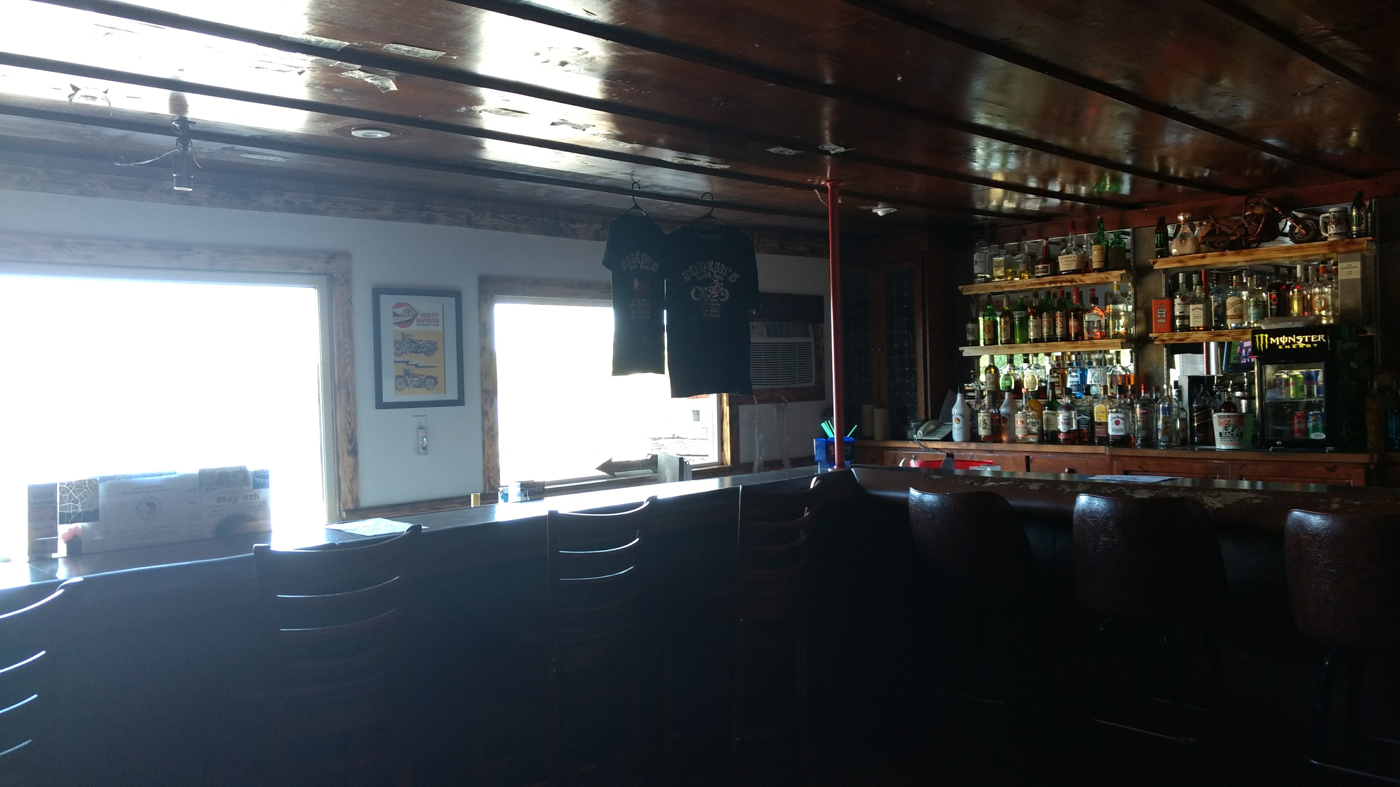
At Bureau Junction, we decided we wanted lunch at a diner, so we could eat more of a real meal than our camp food. We came across this little roadhouse/motel called Jonesie’s Ranch, which served American and Philipino fare and also was a motorcycle bar. There, the friendly waitress served us egg sandwiches stacked with approximately 4 fried eggs each and a vodka cocktail because why not.
From there, we rode about 25 miles on country roads. We had initially started the day cruising along, thinking the day would be pretty easy, but once we got to the roads, we encountered some highway riding where it seemed unsafe to ride around some of the curves. So, we ended up walking our bikes up and down some of the hills.
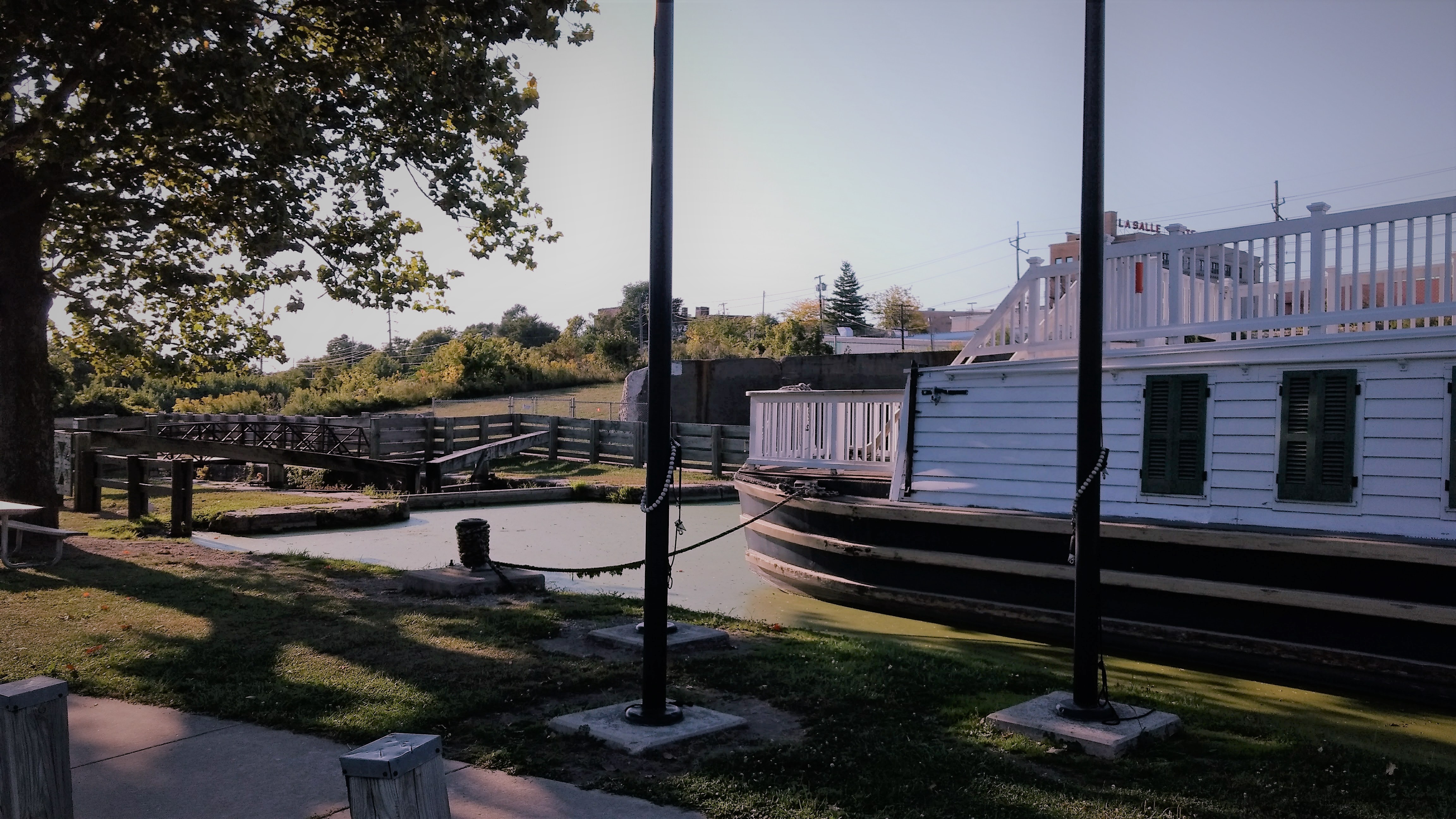
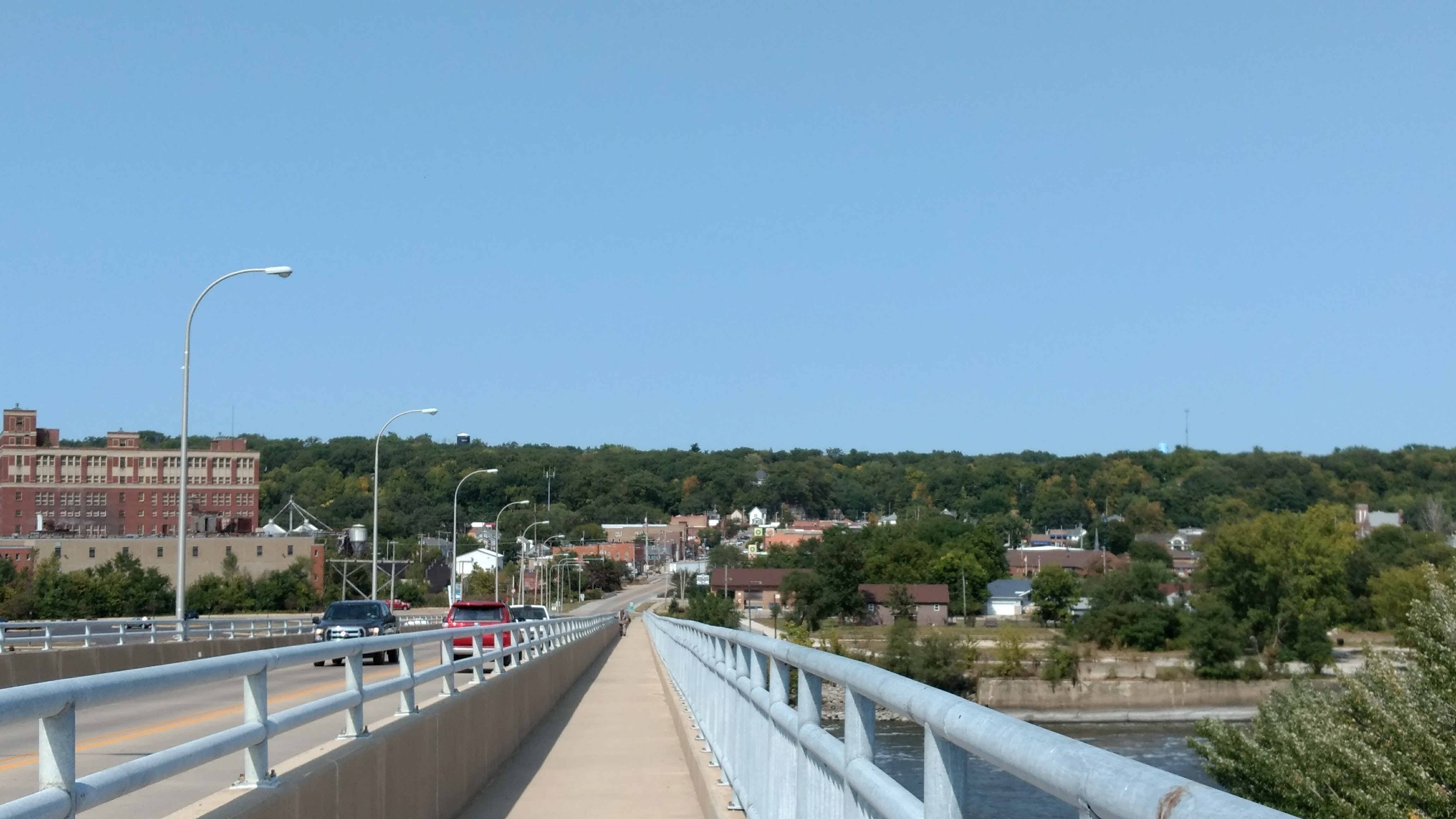
Near the end of the day’s ride, we reached the western trailhead of the Illinois & Michigan (I&M) Canal State Trail, an ~77 mile trail that is also an old towpath. Near the trailhead, there is an old-timey boat like the kind that used traverse the canal, along with information about the canal’s history. The canal’s purpose was to connect Lake Michigan to the Mississippi River.
We eventually made it to our campsite at Starved Rock at around 7:30 pm. There, we were able to take warm showers and cook a meal, but it was too late to do any hiking or sightseeing at Starved Rock. The campsite was nice, clean, and secluded.

Day 3 (9/11/17) – Starved Rock State Park to Gebhard Woods: ~35 miles
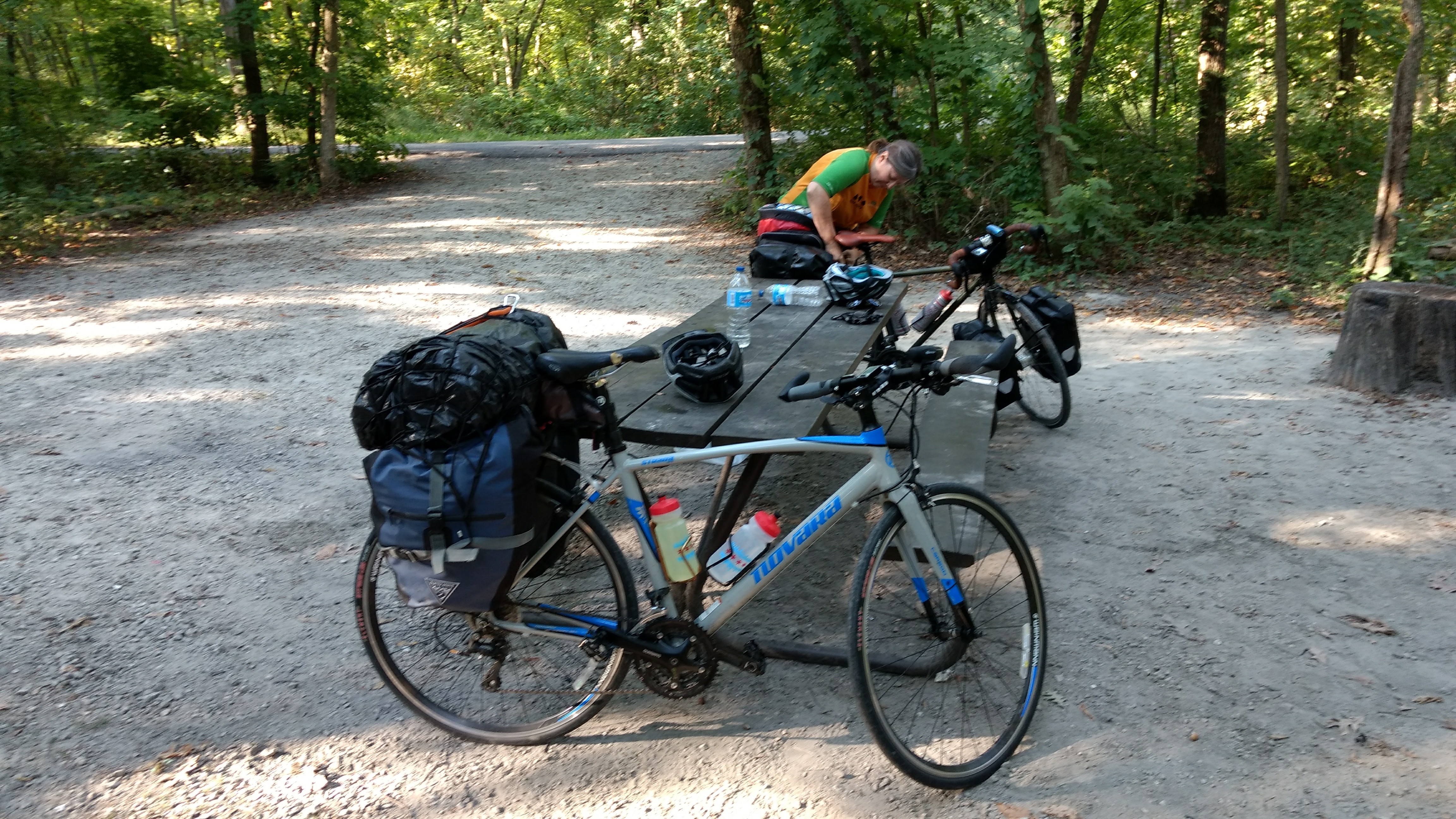
In the original itinerary, today was going to be a rest day to relax and do some fun stuff at Starved Rock State Park. However, that would have meant the following day would be about an 80 mile day. We decided to do a shorter ride today, rather than do that long ride. Here we are packing up our bikes. We were each carrying about 60 pounds of gear. Did we pack too much, as usual? Probably. But, it’s important to have Oreos, face masks, and flasks of liquor.
We started by taking things slow on country roads out of Starved Rock. Again, although it got a little chilly at night, it was a beautiful, sunny September day and I was reminded how much I enjoy seeing the country on bicycle.
We rode on country roads maybe 20 miles or so, because the I&M trail was washed out and unusable for this portion of the ride. At Marseilles, Illinois, we were able to hop back on the I&M trail and it was smooth sailing the rest of the way!
We encountered a high school cross country team, which was doing a practice run on the trail. The kids were friendly, but didn’t look very happy doing all that running. I can’t blame them.
Anyway, as with most of the trip thus far, we also saw a lot of yellow, orange, and green colors in the scenery and vegetation.

Somewhere along the way, we decided to make our destination Gebhard Woods in Morris, Illinois. We arrived there at around 5:30 pm or so and set up camp. Only one other camper was there, so we really had the place mostly to ourselves. Also, for the first time on the trip, we gathered firewood and made a fire!
Want to see how the trip ends? Continue on to Grand Illinois Trail, Part 2!
Recent Comments