Tag: Bridges

White Pine Trail – Part II

This post is a continuation of the 2016 White Pine Trail bike trip, which I did with 4 other people.

Day 3: July 4 – Cadillac to Morley  (~60 miles)

Some people don’t like doing out and back rides, but I don’t mind them.  I feel like reversing our trip the next day and riding from Cadillac to Morley allowed me to see things I didn’t see the first time around.  Plus, if you go uphill one day, it’s nice to go downhill the next.

Ready for day 3

Ready for day 3

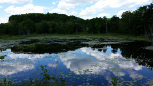
Cadillac south to Tustin is a beautiful ride, with a lot of nature and a lot of downhill riding.  Along the way, we stopped at a boggy area and saw snakes, turtles and frogs making various reptile noises.

27540309513_38684411b0_k

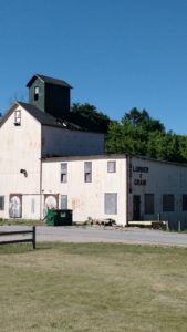
Once in Tustin, which seems to be a quite small town, we saw an old lumber and grain building.

IMG_20160704_101331135

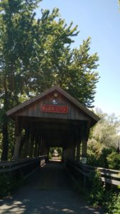
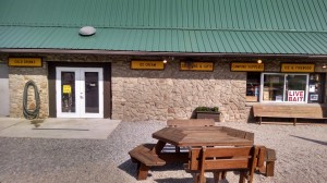
We then passed through Reed City again, including a covered bridge.  While there we also ate at a great jeep-themed diner called 7 Slots.

IMG_20160704_121707271

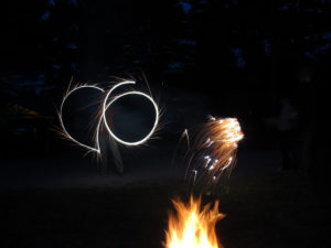
Eventually, we made it back to Morley and Mecosta Pines, where we were spending another night.  We had great weather and it was overall a good day of riding.  Since it was July 4th, we also had to indulge in some sparkler action – although it turns out fireworks and sparklers are not allowed at Mecosta Pines (ooops!).

Rule-breaking

Rule-breaking

Day 4: July 5 – Morley – Grand Rapids (~35 miles)

We ended with a relatively swift day of riding. We rose early and managed to pack up camp and be on our bikes by about 8:15 am.  Impressive!  I think all of our butts were quite sore at this point, as can be expected.

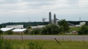
While some trails might be more majestic (the rolling terrain of GAPCO) or impressive (the famous tunnels of Elroy-Sparta), what I appreciated about the White Pine Trail was that it seemed well-maintained and had a classic Midwestern feel to it – with farmland.

IMG_20160704_152345174

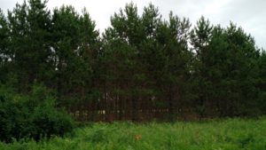
Beautiful nature:

IMG_20160704_154454360

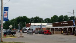
And small towns:

Sand Lake, Michigan (2016)

Sand Lake, Michigan (2016)

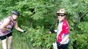
(Oh, and did I mention berries?)

Stopping for a snack of raspberries!

Stopping for a snack of raspberries!

Once we reached Grand Rapids, we packed up our bikes and headed to a diner for lunch before heading home.  It was a great trip and we lucked out with having good weather – no rain and not too hot.

KATY Trail

In July 2013, I was part of a small group that biked Katy Trail State Park (aka – the Katy Trail).

This trail runs 237 miles across the state of Missouri, along what was formerly the MKT trail line. Now, I didn’t have this website back in 2013, but I’m going to try to piece together the trip as best I remember from my notes and itinerary.

On this trip, I went with 3 other people. Like GAPCO, we did this trip entirely self-supported, carrying our own gear on panniers. Unlike GAPCO, where we camped and stayed in hotels half the nights, we stayed in hotels/B&Bs every night of this trip. That definitely made the trip more comfortable, as it’s nice to have a soft bed at the end of riding all day. However, after doing both, I prefer to add in camping, both because I really enjoy camping and because it makes the trip less expensive. What I’ve found is that bike adventure trips can be as inexpensive (or not) as you make them, and staying in hotels and eating at restaurants each night definitely adds up on a trip.

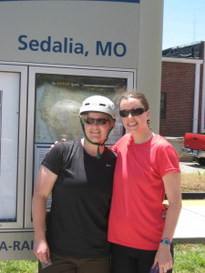
Logistically, the trip began with our group driving in a small SUV, with a bike rack carrying 4 bikes, to St. Louis, MO.  From St. Louis, we took an Amtrak to Sedalia, MO, near the Western terminus of the trail. Technically, the trail starts a bit further west in Clinton, MO, but the Amtrak doesn’t go to there.
KTStart

Day 1- Sedalia to Boonville (35 miles)

Once we arrived in Sedalia, we had a nice lunch at a diner, finalized preparations on our bikes, and then took off.  What I remember is that we kept our first day of biking pretty light, only going from Sedalia to Boonville – about 35 miles. Still, it was very hot and humid, and we were adjusting to carrying gear on our bikes!  We were all glad it was a “short” day.

At Boonville, we stayed at the Isle of Capri Casino, where we had made reservations prior to the trip.  I was quite glad of having a room and a bed. Plus, casinos tend to have great air conditioning. Playing roulette and having a few cocktails also helped us recover from the day of traveling and riding.
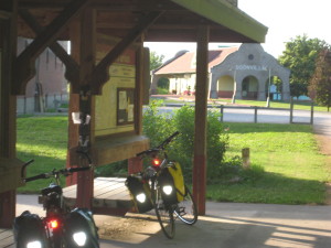
Boonville

Day 2- Boonville to Hartsburg (~40 miles)

From Boonville, our next destination was the Katyrest Caboose in Hartsburg.  I remember enjoying this section of the trail, as it followed pretty closely to the Missouri River and was rather shaded by tree canopies. This part of the country is really quite lovely:
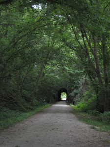
KT3

Excitingly, we went a tad off the trail to stop by and see the World’s Largest Oak Tree. It seemed true to its name:
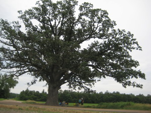
OakTree


And then, most excitingly of all, we arrived at the Katyrest Caboose, where we got to relax and cool down from the day’s ride:
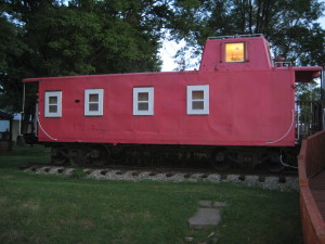
Caboose


Day 3 – Hartsburg to Marthasville (76 miles) – 

Dun dun dun! Day 3 was our longest of the trip, clocking in at 76 miles. Which, on a light road bike and without panniers, is not all that difficult. But, with packs, on crushed limestone, and hybrid/mountain bikes, is a little more difficult.  Not that I’d trade it for a vacation of lounging on a beach and doing nothing, of course!

The Midwest has a reputation of being “flyover country,” but I continued to be impressed by the landscape on this ride.  We went over many bridges, through tunnels, along bluffs, and through stretches of forest that I’m sure many people never see.
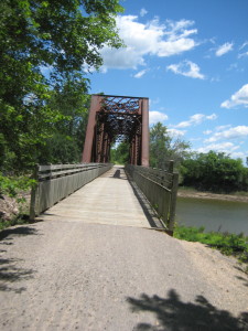
KT4

Also, like GAPCO, the Katy Trail has cool, quirky features to show hospitality to those who ride.  Along the way to Marthasville, there was a non-staffed rest stop with a stocked refrigerator operating on the honor system. I’m not sure who fills the ‘fridge with Gatorade, sodas, and snacks, but we were grateful for it (and we dropped money into the canister):
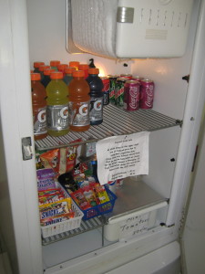
KT5


On this day, I also remember getting a mystery rash on my legs during the last couple hours. Exciting!  It turns out I get heat rash on my lower legs, probably due to combination of dust, sun, and sweat.  I also experienced this on the Trans Catalina Trail. (Was that too much information?).

Day 4 – Marthasville to St. Charles (~38 miles)

On our next to last day of riding, we rode from Marthasburg to just outside of St. Louis, in St .Charles. As we got closer to the city, the trail got more and more crowded with other bikers and families. While before, in more rural locations, we were able to ride 2×2, we were most relegated to riding single file.

Just as we were arriving in St. Charles, where he had a hotel room reserved, it began to rain. Luckily, that was really the only time we got rained on during the trip. In St. Charles, the trail ran parallel to an abandoned (I think?) rail line.
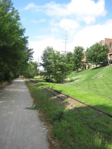
KT5


Day 5 – St. Charles to St. Louis (~40 miles) –

The last day of a bike trip is always bittersweet for me. On the one hand, it’s always such an accomplishment to finish a trail, but that also means the vacation is over.  Nonetheless, we departed from St. Charles and headed for St. Louis, to the Amtrak station where the car had been parked.

Probably for all of us, this was the most harrowing riding of the trip. We had been accustomed to riding on trails segregated from cars, but once we got into St. Louis and headed toward the Amtrak station, the trail ended, putting us on roads without bike trails. If I were to do this ride again, I would pay more attention to the ride from St. Charles to St. Louis and try to find a less congested route.

In all, it was a great trip, and I really would consider riding the Katy Trail again, perhaps adding some camping nights into the experience!
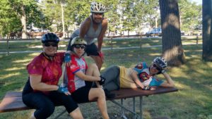
Day 2 Re-cap: Finding Water

On day 2, we woke up at Roundbottom Campground at around 7:20 am, which was later than we were all expecting.  We had a reservation to tour Fallingwater at 1 pm, 30 miles away, so we broke camp and were on the trail by around 8:30.

We had about 1 bottle of water between us, and had to ride about 8 miles until we could get more drinking water. Thankfully, we encountered a KOA campground earlier than expected that was a nice oasis!

wpid-wp-1404308579919.jpeg

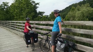
During the ride, we definitely noticed the incline and, with our packs, kept pace at about 10 mph.  It turns out that we climbed 480 ft. over the 42 miles for the day.  Overall, though, the trail was far more rural than Day 1 and we went over several scenic wooden bridges.

wpid-wp-1404307474549.jpeg

We arrived at the beautiful Ohiopyle State Park area around 1, which has swimming, camping, rafting, and other adventures. Fallingwater is about 4 miles from here, up a winding country road.  After talking to locals, who largely seemed appalled that we would bike on the curvy, hilly highway 381, we opted to take a shuttle to Fallingwater, rather than bike there.  Locals also had very different “estimates” of the distance to Fallingwater, some reporting it was 3-4 miles uphill and some approximating up to 7 miles uphill.

Whatever the real distance is, we were happy and relieved with our decision to opt for the shuttle decision, especially since we noticed the shoulder of the road was about 10 inches. Best $21.20 per person we’ve ever spent.

wpid-wp-1404308080251.jpeg

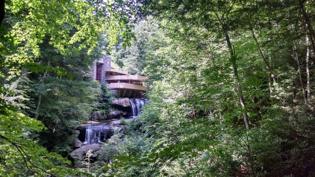
Fallingwater was wonderful:

wpid-wp-1404308140452.jpeg

We went inside, but were not allowed to take pics.  Our guide was also very adamant that no one touch anything when we were inside the house.  I, of course, being tired and hot from all the riding, accidentally let my hand graze a sofa, and got scolded.  Oops.  It was an amazing property, though – the waterfall is actually built into the house, and the different floors of it resemble the natural flow of the water cascading down the rocks.  It all has fancy architectural terminology that our guide kept talking about, but I can appreciate the beauty of it even if I can’t remember it all now.

Another highlight of this sight-seeing detour is that the 3 of us wanted to get our picture taken in front of the vista above.  A group of other tourists were nearby, and out of all of them, Lauren asked a teenage boy if he would take our picture.  Which would normally be fine, but this particular boy happened to have two casts on his arms because he had what looked like two broken wrists.  He was a sport and took our picture anyway.

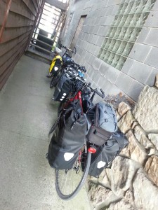
When we got back to the shuttle place we were glad to see our bikes were still there.  I’m not sure what our plan would have been if they had gotten stolen or something, but I’m sure we would have figured something out:

wpid-wp-1404308303011.jpeg

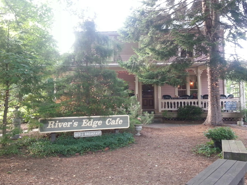
After riding 11 more miles we made it to Confluence, and the River’s Edge Loft:

wpid-wp-1404308503821.jpeg

Anna Marie, the owner, walked us around to the back of the property where there is a 2 story brick building with an antique shop in the first floor and a 1 bedroom loft apartment on the second floor with 1 full-size bed, a futon, a full kitchen and bath, and, most importantly, AC! The first floor also has a storage room that is the perfect place to store our bikes.

Ahhhhh!!! Showers!

We had been given an enthusiastic dinner recommendation for a place called The Lucky Dog in Confluence. We hadn’t eaten a proper meal all day and we were starving. At first glance the place seemed questionable, but the burgers and beers just might be the best we’ve ever had.

I’ve been on many rail trails, all with varying levels of support from towns along the trail, and Confluence was a great, well-supported stop.  In my opinion, what makes a great support stop is if there’s a bike shop in town, as well as lodging where the proprietors accommodate the needs of touring cyclists by, say, not requiring 3-night minimums at campsites/B&Bs and by allowing bikes to be secured in rooms or storage facilities overnight.

Today’s Mileage: 42

Tomorrow’s Itinerary: Confluence, PA to Rockwood, MD