Month: July 2014 (Page 2 of 3)

Day 5: The C&O Towpath Experience

Welp, Day 5 was an adjustment, in terms of riding.  We woke up from our hotel in Cumberland, biked to Mile O of the C&O Towpath and, as anticipated, found that it was indeed quite bumpy.

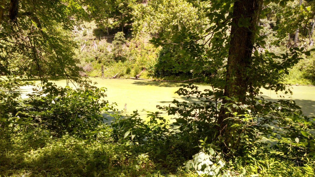
While the GAP is primarily crushed limestone, the Towpath is a 1-lane dirt road covered with tree roots, sticks, mud puddles, and horse manure.  Running parallel is the old canal, which fell out of use in the 1920s, and is now green and boggy.
wpid-wp-1404580784817.jpeg

Mentally it was a difficult riding day, as it was one of our longer ones at 60 miles. But, we also know that every adventure trip has its ups and downs, and knew we would soon rally.

A cool point in the ride was seeing Paw Paw Tunnel, which we had to walk our bikes through for the entire 0.6 miles. It was much cooler in the tunnel than outside, and the ground inside was very uneven and bumpy. I remember looking to my right a couple of times at the wall and seeing large chunks of brick missing (a perfect spot to hide a treasure if you ask me).
wpid-wp-1404580939463.jpeg

A high point was stopping at Bill’s Place for pizza and crab cakes.  Although, it did have a Confederate flag on the ceiling and some interesting signs:
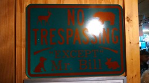
I have no idea what this means.

I have no idea what this means.

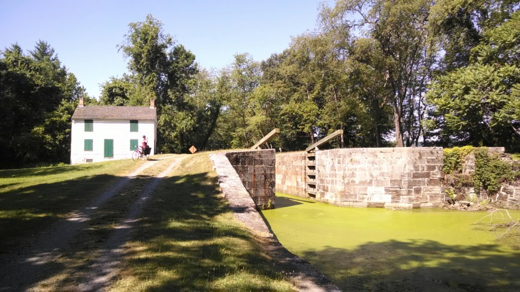
Along the Towpath, every couple miles is a lock, which is cool, as each one also has an old lock house:
wpid-wp-1404581131834.jpeg

Now, remember our flat tire a few days ago?  Well, when Ellen and I were at the bike store getting some tubes, the owner gave us a tip to pick up the Western Maryland Rail Trail, which is paved and runs parallel to the Towpath for 22 miles. That started about 50 miles in:
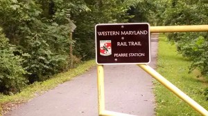
Wonderful, heavenly pavement!

Wonderful, heavenly pavement!

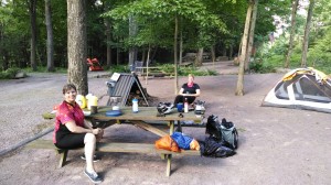
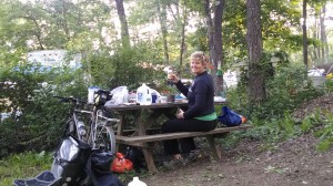
At the end of our ride, we made it to Happy Hills Campground.  This site was teeming with people and families celebrating the July 4th weekend.  Despite the crowds, we were happy to shower, set up our tents, and eat supper. Lauren cooked a delicious meal, complete with pie for dessert:
wpid-wp-1404582027245.jpeg

Everyone was very friendly at the aptly-named Happy Hills.  Some of the regulars there, those who seem to pay for spots on a seasonal basis, have quite impressive campers and set-ups.  The family next to us had a massive camper, complete with a big TV, a front porch, a shed, and a cool tripod grate (which they let us borrow to roast our pies over our campfire!)

A couple hours after we arrived at Happy Hills, a few guys probably in their mid-20s showed up after us who had also ridden from Cumberland. Although, lucky them, a man was supporting them via truck and had set up their tents for them, brought them a cooler, and inflated air mattresses for them.

Not going to lie, we were proud of ourselves for doing the ride completely self-supported, and for being at least a decade older than them.

We then made our campfire and, later, retired to our tents to the sounds of a live country music cover band, underage girls drunkenly talking, and random young men shouting “whooooo.”

Onward we go!

Today’s Mileage: 60

Tomorrow’s Itinerary: Hancock, MD to Harper’s Ferry, WV
Day 4: The Sky Breaks Open!

But first, an update from last night.

Husky Haven was a great campsite! It had showers, was clean, and our site came with a big pile of firewood.

wpid-wp-1404420493447.jpeg

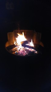
We stayed up until almost midnight chatting around the fire, roasting marshmallows, and drinking from our flasks.

wpid-wp-1404419930836.jpeg

While we were chatting, a stray dog came up to us to say hello and we weren’t sure if it was friendly.  Lauren got scared and basically ran away, I observed things from afar, but Ellen handled the matter by Walking Toward The Dog In An Intimidating Manner. The dog ran away, scared.

Our campsite was quite close to a railroad track that ran at all hours of the night.  So, after some fitful sleeping we got up, ate, broke camp and were on the trail by about 9:30 am.

Today was our last day on the GAP, with 44 miles to go until we picked up the C&O Towpath in Cumberland, MD.  The first 20 miles were, again, a relentless incline.

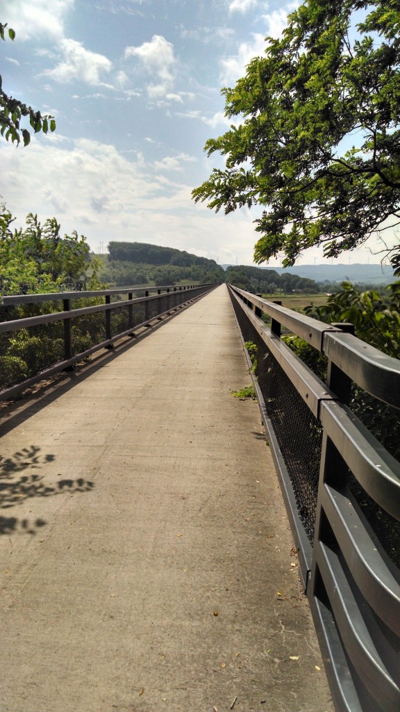
Highlights of this portion were the Salisbury Viaduct:

wpid-wp-1404430036013.jpeg

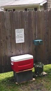
Some trail hospitality:

wpid-wp-1404430096101.jpeg

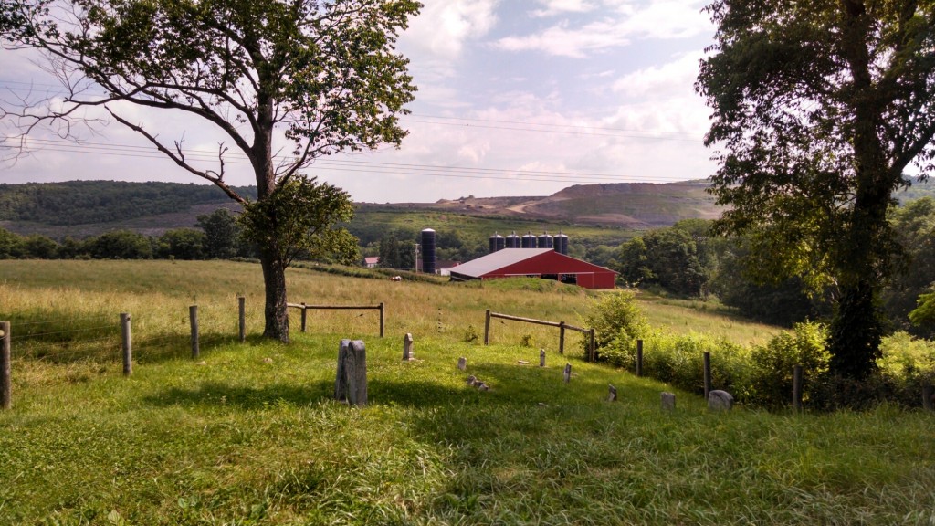
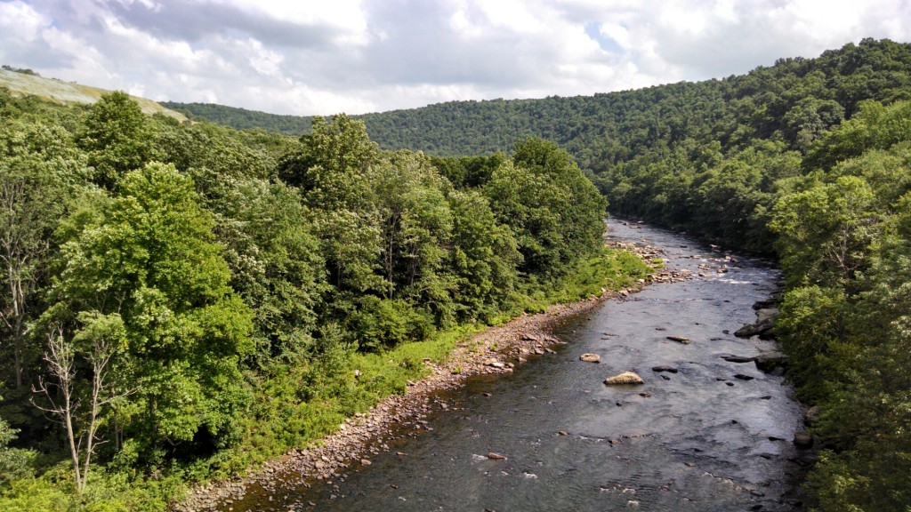
And some great vistas up high:

wpid-wp-1404430121162.jpeg

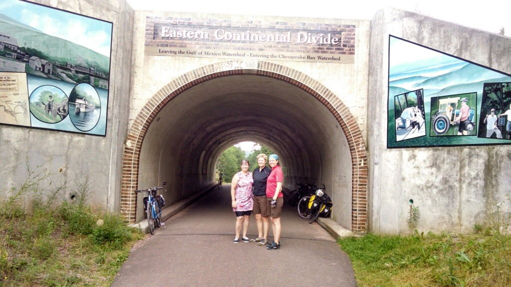
And then, we finally reached the Continental Divide, signifying the glorious end to uphill biking for awhile:

wpid-wp-1404430356002.jpeg

At this point, the rain that had been threatening for the past few days began to pour, as we began our descent. Both the rain and the downhill were a great relief, and we maintained speeds of 16-17 mph the remaining 24 miles to Cumberland!

During this part of the day, we passed the Mason-Dixon Line:

wpid-wp-1404430650419.jpeg

We passed lots of other cool sights, too, but it was raining far too hard to take our cameras out.  The rain and the mists were quite beautiful, though, as we descended.

We then arrived in Cumberland, the official border of the GAP and the CO:

wpid-wp-1404431331629.jpeg

Cumberland, although much smaller than Chicago, felt very jarring, especially riding on roads with cars.

People were honking horns and, as we reached our hotel soaked and tired, clean shiny tourists were in our space asking obtrusive questions about our trip and itinerary. We just wanted to unpack and get dry.  The interactions felt noticeably different than with those we had been having with other bikers and campers, with whom it seems we shared a “we’re all in this together” mentality.

After showers, we went to a nice, delicious Italian restaurant, after which Ellen discovered she had been wearing her pants on backwards. We proceeded to have a laughing meltdown for a good 5 minutes.

So, on that note, we’ll end.

Today’s Mileage: 44

Tomorrow’s Itinerary: Cumberland, MD to Hancock, MD

Day 3: Husky Haven Campground

We made it to Rockwood and are enjoying our camp site!

wpid-wp-1404341723875.jpeg

It’s Ellen’s turn to make dinner!

Today’s ride was relentless climbing and we had 1 flat tire.  We got through it together though, and Ellen got to practice her tire-changing skills (top-notch, by the way!).

And, overall, I’ve been impressed with people’s friendliness and generosity while we’ve been on the trail.  A cyclist couple staying at Ohiopyle, Rob and Dorothy, stopped and gave us a nice bike pump for the rest of our trip, when they saw us fixing the flat! (We had a pump, it’s just very small and theirs was way better).

We saw some beautiful vistas during our ride:

wpid-wp-1404341849212.jpeg

And:

wpid-wp-1404341878161.jpeg

Tomorrow will be our last day on the GAP and we’ve been hearing that the upcoming C&O Towpath portion is quite bumpy. The owner of a bike store gave us a tip about a trail that runs parallel to the C&O for 22 miles and is paved, so we may check that out.

Today’s Mileage: 31

Tomorrow’s Itinerary: Rockwood, PA to Cumberland, MD

Day 2 Re-cap: Finding Water

On day 2, we woke up at Roundbottom Campground at around 7:20 am, which was later than we were all expecting.  We had a reservation to tour Fallingwater at 1 pm, 30 miles away, so we broke camp and were on the trail by around 8:30.

We had about 1 bottle of water between us, and had to ride about 8 miles until we could get more drinking water. Thankfully, we encountered a KOA campground earlier than expected that was a nice oasis!

wpid-wp-1404308579919.jpeg

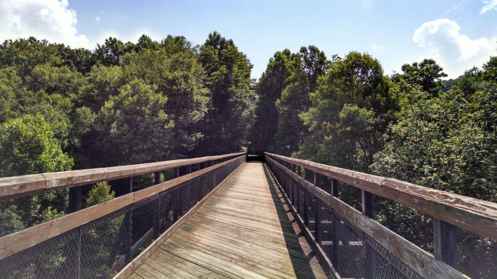
During the ride, we definitely noticed the incline and, with our packs, kept pace at about 10 mph.  It turns out that we climbed 480 ft. over the 42 miles for the day.  Overall, though, the trail was far more rural than Day 1 and we went over several scenic wooden bridges.

wpid-wp-1404307474549.jpeg

We arrived at the beautiful Ohiopyle State Park area around 1, which has swimming, camping, rafting, and other adventures. Fallingwater is about 4 miles from here, up a winding country road.  After talking to locals, who largely seemed appalled that we would bike on the curvy, hilly highway 381, we opted to take a shuttle to Fallingwater, rather than bike there.  Locals also had very different “estimates” of the distance to Fallingwater, some reporting it was 3-4 miles uphill and some approximating up to 7 miles uphill.

Whatever the real distance is, we were happy and relieved with our decision to opt for the shuttle decision, especially since we noticed the shoulder of the road was about 10 inches. Best $21.20 per person we’ve ever spent.

wpid-wp-1404308080251.jpeg

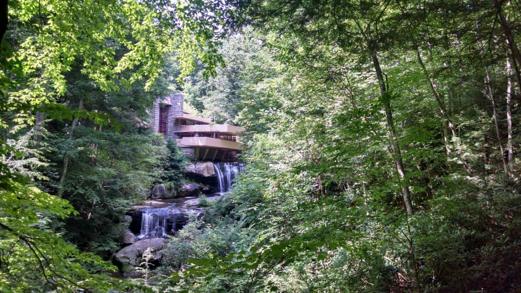
Fallingwater was wonderful:

wpid-wp-1404308140452.jpeg

We went inside, but were not allowed to take pics.  Our guide was also very adamant that no one touch anything when we were inside the house.  I, of course, being tired and hot from all the riding, accidentally let my hand graze a sofa, and got scolded.  Oops.  It was an amazing property, though – the waterfall is actually built into the house, and the different floors of it resemble the natural flow of the water cascading down the rocks.  It all has fancy architectural terminology that our guide kept talking about, but I can appreciate the beauty of it even if I can’t remember it all now.

Another highlight of this sight-seeing detour is that the 3 of us wanted to get our picture taken in front of the vista above.  A group of other tourists were nearby, and out of all of them, Lauren asked a teenage boy if he would take our picture.  Which would normally be fine, but this particular boy happened to have two casts on his arms because he had what looked like two broken wrists.  He was a sport and took our picture anyway.

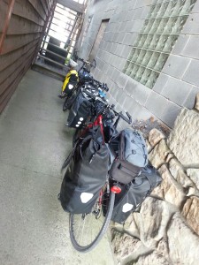
When we got back to the shuttle place we were glad to see our bikes were still there.  I’m not sure what our plan would have been if they had gotten stolen or something, but I’m sure we would have figured something out:

wpid-wp-1404308303011.jpeg

After riding 11 more miles we made it to Confluence, and the River’s Edge Loft:

wpid-wp-1404308503821.jpeg

Anna Marie, the owner, walked us around to the back of the property where there is a 2 story brick building with an antique shop in the first floor and a 1 bedroom loft apartment on the second floor with 1 full-size bed, a futon, a full kitchen and bath, and, most importantly, AC! The first floor also has a storage room that is the perfect place to store our bikes.

Ahhhhh!!! Showers!

We had been given an enthusiastic dinner recommendation for a place called The Lucky Dog in Confluence. We hadn’t eaten a proper meal all day and we were starving. At first glance the place seemed questionable, but the burgers and beers just might be the best we’ve ever had.

I’ve been on many rail trails, all with varying levels of support from towns along the trail, and Confluence was a great, well-supported stop.  In my opinion, what makes a great support stop is if there’s a bike shop in town, as well as lodging where the proprietors accommodate the needs of touring cyclists by, say, not requiring 3-night minimums at campsites/B&Bs and by allowing bikes to be secured in rooms or storage facilities overnight.

Today’s Mileage: 42

Tomorrow’s Itinerary: Confluence, PA to Rockwood, MD


« Older posts Newer posts »